 AlbertaSell
112 Street E
Land / rural owner guidance for this mapped area.
Calgary region · Seller guidance
High River’s subdivision map includes homes, industrial sites, annexed land and recreation areas. Confirm the parcel and the interest you own before choosing a sale comparison or preparing space for a tenant.
Browse area guides ↓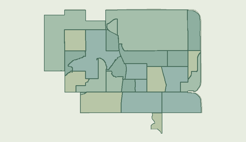
Land / rural owner guidance for this mapped area.
Includes Range Road 284A N/A and 2A Highway on the municipal map.
Includes Macleod Trail SW and Beach Way SW on the municipal map.
Includes 5 Avenue SE and 2 Avenue SE on the municipal map.
Includes Macleod Trail SW and 1 Street SW on the municipal map.
Includes Eagleview Place NW and Stonehouse Crescent NW on the municipal map.
Includes 10 Avenue SE and 9 Avenue SE on the municipal map.
Includes Freeman Way NW and High Country Drive NW on the municipal map.
Includes Hampshire Way NE and Hampshire Crescent NE on the municipal map.
Includes 24 Street SE and 20 Street SE on the municipal map.
Includes High Country Rise NW and High Country Drive NW on the municipal map.
Includes 13 Avenue SE and 16 Street SE on the municipal map.
Includes Lineham Acres Drive NW and High Country Drive NW on the municipal map.
Includes 8 Street SW and 9 Street SW on the municipal map.
Includes 72 Street E on the municipal map.
Includes Monteith Drive SE and Montrose Terrace SE on the municipal map.
Includes Homestead Trail SE and 2 Street NE on the municipal map.
Includes 6 Street SW and 9 Avenue SW on the municipal map.
Includes 104 Street E and Red Tail Ridge SE on the municipal map.
Includes Ellis Crescent SE and Crescent Avenue SE on the municipal map.
Includes Centre Street S and 1 Street SE on the municipal map.
Includes Coal Trail and 64 Street E on the municipal map.
Includes Sunrise Terrace NE and 21 Street NE on the municipal map.
Includes 9 Avenue SE and 14 Street SE on the municipal map.
Includes Riverside Drive NW and Riverside Boulevard NW on the municipal map.
For an unlabelled tract, identify private ownership, existing use and legal access. Use parcel records to distinguish the holding from adjoining municipal land or public facilities.
Request a home valuationDiscuss a commercial saleOffer space for leaseDiscuss a land parcel